About this tool and how to use it.
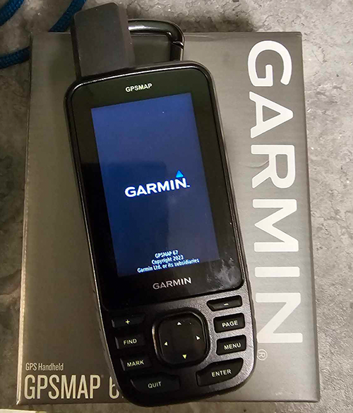
Our interactive missing person system is one-of-a-kind. Every missing person has a dedicated map where logged-in users can mark locations they’ve searched, placed flyers, or noted as significant. This platform is designed to help find the missing—don’t hesitate to get involved! If you’re ready to search, like in wooded areas, we support Garmin GPS data uploads. Don’t have a GPS? Check out the link below to purchase one. By using our link, about 4% of your purchase supports our mission (you can buy anything through the link, not just GPS devices, and we’ll still receive the commission).
If you’ve gone out searching already, you’ll want to send us the GPX file from your search. Send it to help@missingpeopleinamerica.org You’ll also want to tell us what missing person it’s for and what type of terrain it is. Our software we use, we can either keep every single point you send, or reduce the points to every 10, 20, 30, 40 or 50 meters. This allows us to prevent uploading unnecessary points.
Using the Mapping System
If you just want to mark the map, you’ll click, Flyer Placed, Important Location, or Area Searched (depending on what you’re doing). You’ll then click the map where you want the mark. You can then add notes, then press enter.
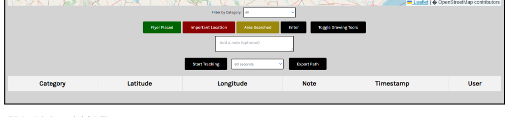
On the top right corner of the map, there’s 3 buttons. GPS, Show Tracking and Show Notes.
GPS will show your actual GPS location if you have the privileges turned on
Show tracking will show any type of tracking data, like the blue line you see below.
Show Notes, will show you all the notes for the markers on the map.
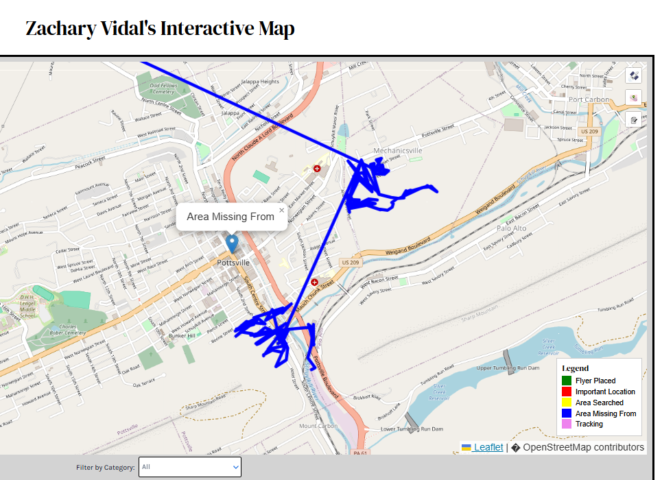
The picture above, this search was done using a cell phone. Cell phones are not good devices to use for searching, this is why we’ve incorporated GPS systems.